

125 W. Boeger Dr., ARLINGTON HEIGHTS, IL 60004
Lat/Long: , Elevation: meters
Site Owner Contact Information

Site Contact Data Locked
The site contact data for this site is private and only available to Premium Accounts and the registered Site Owner.Request a Premium Access Pass or, if you're the site owner, Claim this Site to take control over the listing and its contents.
Manage your lease information and keep a secure copy in your Site Manager.
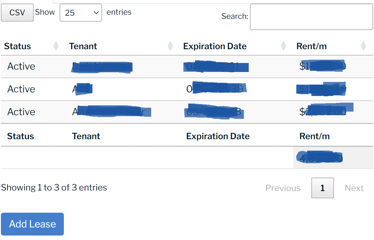
Lease Data Locked
The lease data for this site is private and only available to the registered Site Owner.Request a Access or, if you're the site owner, Claim this Site to take control over the listing and its contents.
Site Name
Infrastructure SitesCurrent Infrastructure
Cell Towers SiteBid ID #
434737 Published Date
July 7, 2023 Modified Date
May 17, 2025 Site Description
The wireless infrastructure site located at 125 W. Boeger Dr., ARLINGTON HEIGHTS, IL 60004, in the country of COOK, has a latitude of 42.13707 and longitude of -87.98314. It is referenced as a MONOPOLE structure with a height of 99.5 ft.
The utility asset is operated by Crown Castle and is identified using AssetID 816850 or by the site name: ARLINGTON HEIGHTS SO.
Site Name
125 W. Boeger Dr., ARLINGTON HEIGHTS, IL 60004
Address
County of Record
COOK
City
State / Province
Zip Code
Latitude:
Longitude:
Country
United States
Latitude or Longitude values are missing or invalid.
×
Do you have questions?
Call or text us, we're here to help!
Call or text us, we're here to help!
I agree to be contacted by SiteBid, Inc. via text, call &
email. To opt-out, reply 'stop' or click unsubscribe.
email. To opt-out, reply 'stop' or click unsubscribe.