>
AL
>
Greensboro
>
Share Page
11241 County Road 32 Greensboro Al 36744 - Rooftop Antenna - Cell Tower

Nearby EV Charging Stations

Here are the closest EV Charging stations within a 5 Mile Radius of this location.


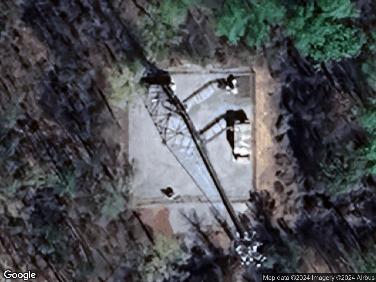
11241 County Road 32, Greensboro, AL 36744

Lat/Long: 32.8123, -87.60031     Elevation: 113.07 meters
Site Manager
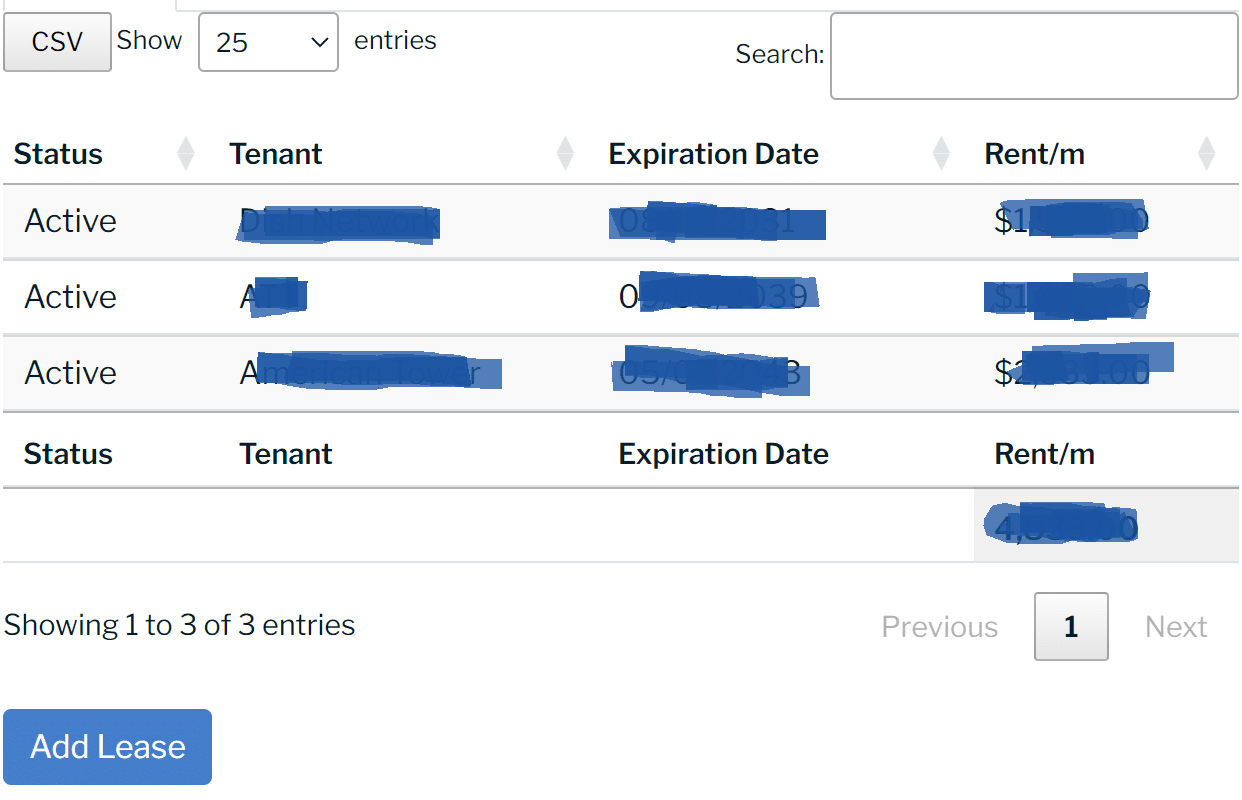
Manage your lease information and keep a secure copy in your Site Manager.
Blue Rent

Lease Data Locked

The lease data for this site is private and only available to Premium Accounts and the registered Site Owner.

Request a Premium Access Pass or, if you're the site owner, Claim this Site to take control over the listing and its contents.

Keep record of service providers and site contacts.
Contactinfo

Site Contact Data Locked

The site contact data for this site is private and only available to Premium Accounts and the registered Site Owner.

Request a Premium Access Pass or, if you're the site owner, Claim this Site to take control over the listing and its contents.

Access site documents including parcel maps and real estate disclosures.
Site Name
11241 County Road 32, Greensboro, AL 36744
Current Infrastructure
Data Accuracy
0.000
SiteID #
434611
Modified Date
Site Description

The wireless infrastructure site located at 11241 County Road 32, Greensboro, AL 36744, in the country of Hale, has a latitude of 32.8123 and longitude of -87.60031. It is referenced as a SELF SUPPORT structure with a height of 302 ft.

The utility asset is operated by Crown Castle and is identified using AssetID 807630 or by the site name: N. Greensboro.

Site Name
11241 County Road 32, Greensboro, AL 36744
County of Record
Hale
City
State / Province
Zip Code
Latitude:
Longitude:
Country
United States

Census Data

The property located at 11241 County Road 32 is situated in Hale County, Alabama and has a block FIPS # of 010650402001035. Here is the most recent census data from the 2020 US Census report:
Block FIPS: 010650402001035
County FIPS: 01065
County Name: Hale County
State FIPS: 01
State Name: Alabama
Block Population (2020): 23
AMT: AMT004
BEA: BEA078
BTA: BTA450
CMA: CMA309
EAG: EAG003
IVM: IVM309
MEA: MEA024
MTA: MTA029
PEA: PEA344
REA: REA004
RPC: RPC004
VPC: VPC004
Technology & Infrastructure
Communications Asset ID
807630
Structure Height
302.0meters

Utility Information

Utility Company: Alabama Power Co
Company ID: 195
Residential Rate: $0.1174 /kWh
Commerical Rate: $0.1071 /kWh
Industrial Rate: $0.0607 /kWh
{ "status": 1 , "walkscore": 0 , "description": "Car-Dependent" , "updated": "2024-03-02 02:27:27.826902" , "logo_url": "https://cdn.walk.sc/images/api-logo.png" , "more_info_icon": "https://cdn.walk.sc/images/api-more-info.gif" , "more_info_link": "https://www.redfin.com/how-walk-score-works" , "ws_link": "https://www.walkscore.com/score/loc/lat=32.8123/lng=-87.60031/?utm_source=sitebid.com&utm_medium=ws_api&utm_campaign=ws_api" , "help_link": "https://www.redfin.com/how-walk-score-works" , "snapped_lat": 32.8125 , "snapped_lon": -87.6000 }
Walk Score Logo
0
Car-Dependent

Utility Lease Market Valuation Analysis

Cash Flow Analyis
Blurred Out Image Of Cash Flow Analyis
Net Income
Blurred Out Image Of Net Income Chart
Cap Rate Range (%)
Blurred Out Image Of Cap Rate Range
Market Lease Comparables
Blurred Out Image Of Market Lease Comparables
Sale Value Range ($)
Blurred Out Image Of Sale Value Range

Estimated Utility Lease Rates

Blurred Out Image Of Revenue Chart

Note: This lease rate estimate incorporates public and user-submitted data into SiteBid’s proprietary formula, also taking into account lease facts, location and market trends.

Estimated Utility Lease Sale Valuation

Note: This doesn't include the value of the real estate and is only based on the lease rights an a recorded utility easement. The amount of the lease buyout depends on the rent being received under the existing lease, the tenant quality, the terms of the lease, the neighborhood location (including traffic counts and population), the duration of the period for which our investor has the right to collect rent, and a number of other variables that make up our risk assessment.

Request a free site valuation and no obligation cash offer.

Infrastructure Investors are actively purchasing fee simple real estate, leases and easements on properties with active utility leases from tier-1 tenants (AT&T, Verizon, T-Mobile, etc.). Depending on the terms of the lease, the lease buyout valuations can range drastically between 16x-20x the annual lease rate for lump-sum payments and 18x-25x for structured payments.

Similar Property Listings Nearby

Staticmap?Size=467X200&Amp;Amp;Key=Aizasydtv L1Hwk2Wqb8Wxjqkrg9Hzriffbnbke&Amp;Amp;Markers=Size:mid%7Ccolor:0Xff0000%7C32.830198, 87
Cell Towers
|
Cell Tower

32.830198, -87.675896

Staticmap?Size=467X200&Amp;Amp;Key=Aizasydtv L1Hwk2Wqb8Wxjqkrg9Hzriffbnbke&Amp;Amp;Markers=Size:mid%7Ccolor:0Xff0000%7C32.8744, 87
Cell Towers
|
Cell Tower

32.8744, -87.615936

Staticmap?Size=467X200&Amp;Amp;Key=Aizasydtv L1Hwk2Wqb8Wxjqkrg9Hzriffbnbke&Amp;Amp;Markers=Size:mid%7Ccolor:0Xff0000%7C32.8744, 87
Cell Towers
|
Cell Tower

32.8744, -87.615936

Staticmap?Size=467X200&Amp;Amp;Key=Aizasydtv L1Hwk2Wqb8Wxjqkrg9Hzriffbnbke&Amp;Amp;Markers=Size:mid%7Ccolor:0Xff0000%7C32.879172, 87
Cell Towers
|
All Sites, Antenna Structure

32.879172, -87.614935

The information provided is intended to be reliable but is not guaranteed.

Create a free account to save your search results and access your infrastructure dashboard.