The wireless infrastructure site located at APPROX 2.5MI E OF HWY 140 ON HWY 14, Lepanto, Arkansas 72354-9473, in the country of Poinsett, has a latitude of 35.61 and longitude of -90.3. It is referenced as a asset class with a height of 302 and ground elevation of 219.
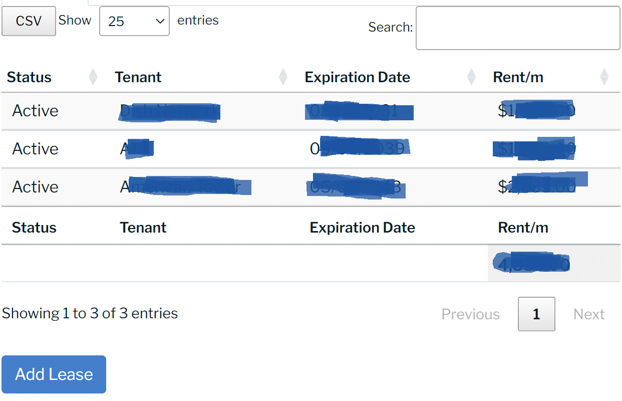
The utility asset is Tower by American Tower and is identified using AssetID 98225 or by the site name: MARKED TREE (LEPANTO). The last recorded utility area included sq. ft. of space.


